
01
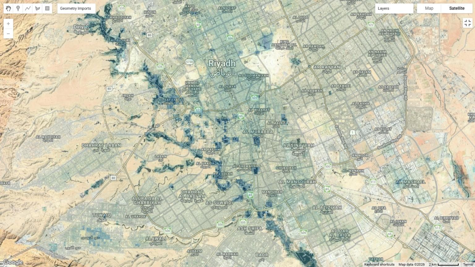
Vegetation & moisture signal
 View full drawing ⤢
06 / Satellite Intelligence · Service
Our satellite analysis service identifies priority areas for planting and tree care. Heat, vegetation and water patterns guide field diagnosis, root-zone interventions and monitoring.
Riyadh / Screening study
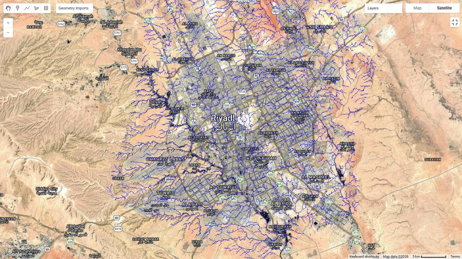
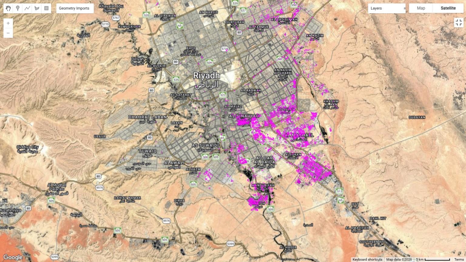
These extracts examine vegetation, moisture signals and drainage context across Riyadh. Read together, they help identify where to investigate conditions for planting, existing-tree care and AquaVault pilots.
View full drawing ⤢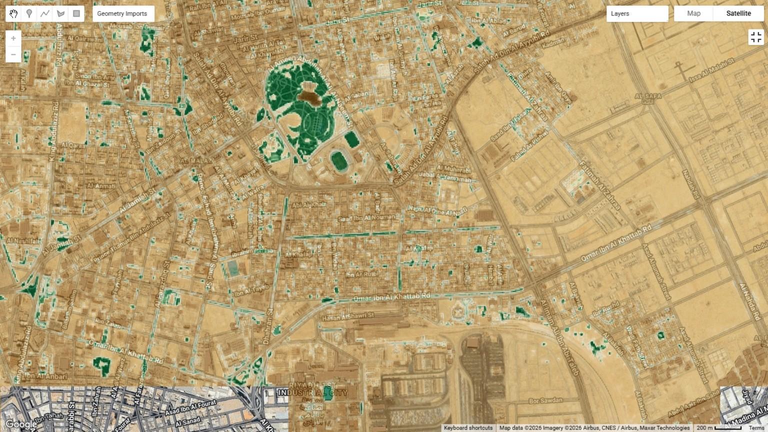 View full drawing ⤢
 View full drawing ⤢
 View full drawing ⤢
Study extracts from AquaVault Satellite Intelligence, Riyadh. Original map extent, colours, scale bars and attribution are preserved. These views support prioritisation; they are not surveyed planting locations or measured project outcomes.
A connected workflow
A common project framework for cities, developers, consultants and implementation partners.
Find spatial patterns of heat and vegetation.
Relate patterns to land cover and site context.
Check the tree, roots, soil and water on site.
Specify the appropriate method and installation.
Follow the site and tree response over time.
From screening to specification
Field diagnosis turns spatial priorities into a practical brief: tree species, soil, rooting space, water quality and maintenance. That brief guides the planting system or root-zone intervention, followed by a monitored pilot.
AquaVault for arid & semi-arid landscapes ↗Explore the wider perspective
Urban heat, vegetation, water and spatial interpretation — connecting analysis with landscape decisions.
Start with your site
Tell us about the trees, the site and the challenge. We can discuss a technical approach, a field intervention or a monitored pilot.
Discuss your project